Day 11
7th September
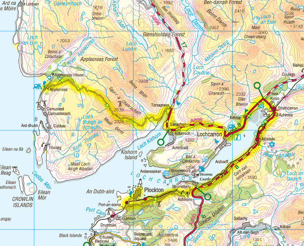
A rainy night gave way to a grey, wet and rainy morning. We could not even see the hills across the bay let alone Skye. The Bealach Na Ba pass - the highest road in Great Britain - was going to be one of the highlights but turned into a wet dreary climb with no views, just incessant rain and mist. We reached the summit after a walk only at the very top but then discovered that we had to walk down as it was too dangerous to ride - the brakes wouldn't hold in the wet! The descent was really spectacular with hairpin bends beneath a massive rock face - if only the weather had been clear! After the steepest part was behind us we chanced riding and at last the brakes held. Looking back we could see twin waterfalls descending to the valley, a really lovely scene. We continued, cold and wet, around Loch Kishorn and on through a lush green valley before descending to Lochcarron.
Past Lochcarron we joined the main road and followed the railway although there was a 1 in 7 hill to climb quite soon. The road was quite fascinating as huge rock walls towered above on the left with the loch to our right. We passed through an avalanche tunnel and then slightly further saw a spectacular waterfall leaping 50 or so feet to the roadside. On the loch shore were two herons at separate places which flew away as we were considering a photograph.
On now through forestry plantations and then off the main road towards Plockton on a peaceful side road free from the traffic that seemed to be tearing along on the A road. After a wrong turning we found the road to Plockton which is a lovely village in a beautiful setting. The boats set in a small bay with the orange-brown seaweed amid perfectly still water made this a magical sight.
On arriving at the camp site we were amazed to see, just across the water, an oil rig platform at Loch Kishorn which we had passed hours earlier on descending from Bealach Na Ba. An evening stroll up to the point above the camp site gave superb views over to Skye across a mirror calm sea.
Day - 38 miles | Total - 371 miles


Maps copyright
Ordnance Survey

Hold down left mouse button and drag to scroll map